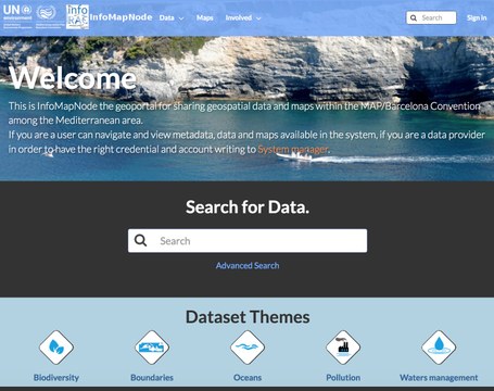
InfoMAPNode
The InfoMapNode is the open source geoportal for sharing a different level of authentication the geospatial data and maps and to expose all the metadata that are relevant in the Mediterranean Area, with a specific focus on Barcelona Convention. It represents, also, the entry point to InfoMAP Spatial Data and Metadata catalogue based on a open source suite that is the InfoMAP Spatial Data Infrastructure (SDI)
It is composed by a set of technical and non-technical components that facilitate the sharing of geographic information. The main components are:
(a) Spatial Data Management system to store, query and manage directly the data in the database;
(b) a Catalogue system with a specific discovery service to harvest, search and query metadata and with integrated Metadata editor. the system is implemented on the open software component GeoNetwork;
(c) Network Service system based where data are distributed and elaborated via Web Service (mainly following OGC Standard);
(d) a portal within a client to search, view, query and analyze the spatial data. It is based on the software package GeoNode.
The main functionality of InfoMapNode application are: upload, manage and share geospatial a no-spatial data; create and modify metadata; create and share interactive maps and collaborate and interact with other users or group of users.
The Spatial Data Infrastructure Architecture
The InfoMAPNode User guidelines

